
Adam
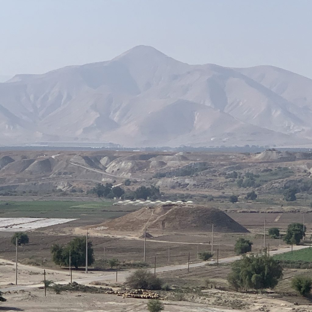
When the Israelites reached the Plains of Moab and prepared to cross the Jordan River into Canaan, God miraculously divided the water for the Israelites. When He did so, the waters backed up as far upstream (north) as Adam (Joshua 3:16). Archaeologists have proposed Adam as the identification for the brown-colored tell (Tell ed-Damiyeh) in the lower portion of this photo. Historically, the Jordan River has been temporarily blocked by landslides just upstream from Adam. According to the Bible, the fords of the Jordan were near Adam (Judges 7:24). In the same general area, between Succoth and Zarethan, Solomon ordered the casting for the Temple’s copper/bronze vessels (1 Kings 7:46; 2 Chronicles 4:17). In the temple at Karnak (in Egypt), Pharaoh Sheshonq/Shishak (945–924 BC; 1 Kings 14:25–28; 1 Chronicles 12:1–12) listed Adama (probably this same Adam) as one of his conquests.
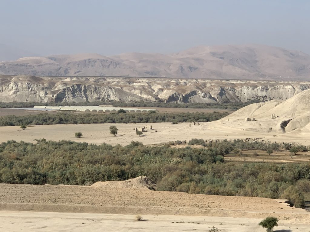
Israel’s crossing of the Jordan River (Joshua 3:14–17) took place about 8 miles downstream (west of Abel-Shittim and opposite Jericho). In the photo, the green horizontal line above the white structures reveals the Jordan River’s channel. Beyond that green line the western bank begins to rise up to the plain between the river and the hills of Canaan (in Joshua’s day, but later to be the hills of Samaria).
The Hasmoneans built the Alexandrium (Alexandreion) on the highest point visible in the photo. The hills of Samaria form the skyline. The site’s name likely honors Alexander Jannaeus (104–77 BC). Herod the Great later restored this palace and made it one of his own (like Masada, Machaerus, and the Herodion). Herod buried two sons (Alexander and Aristobulus) at the Alexandrium.